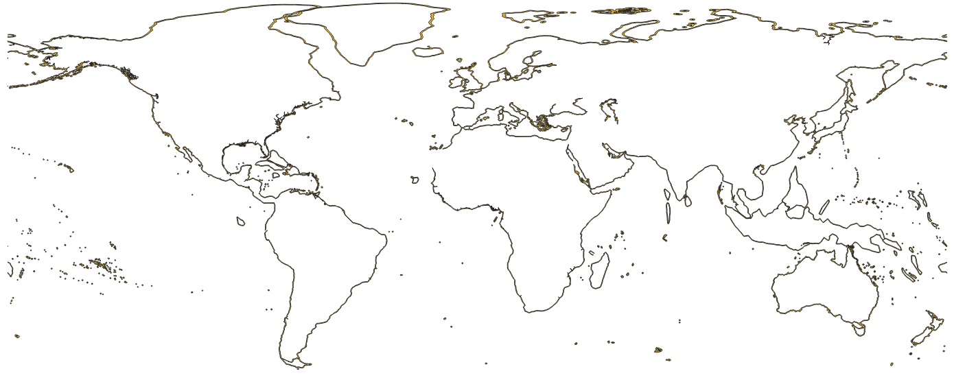
27 12 NM Boundary
World 12 Nautical Miles Zone (Territorial Seas)
27.1 Key Attributes
| Layer name | eez12nm |
|---|---|
| Unique id field | MRGID_EEZ |
| Short description | World 12 Nautical Miles Zone (Territorial Seas) v3 |
| Source | https://www.marineregions.org/downloads.php |
| Citation | Flanders Marine Institute (2024). Union of the ESRI Country shapefile and the Exclusive Economic Zones (version 4). Available online at https://www.marineregions.org/. https://doi.org/10.14284/698. Consulted on 2025-05-26. |
| Attribution | Copyright Flanders Marine Institute - marineregions.org |
| Last updated | 2023-10-25 |
| License | CC-BY |
27.2 Description
12 Nautical Mile boundary that is the limit of a nation’s territorial waters. From Marine Regions

27.3 Data access
GCS
- Original: gs://pipe-regions-layers-us-central1/eez_12nm/original/World_12NM_v4_20231025.zip
- Normalized: gs://pipe-regions-layers-us-central1/eez_12nm/eez_12nm_v4.shp.zip
Bigquery
- Normalized: world-fishing-827.pipe_regions_layers.eez_12nm_v4
- Processed for S2 lookup:: world-fishing-827.pipe_regions_layers.eez_12nm_v4_S2_10